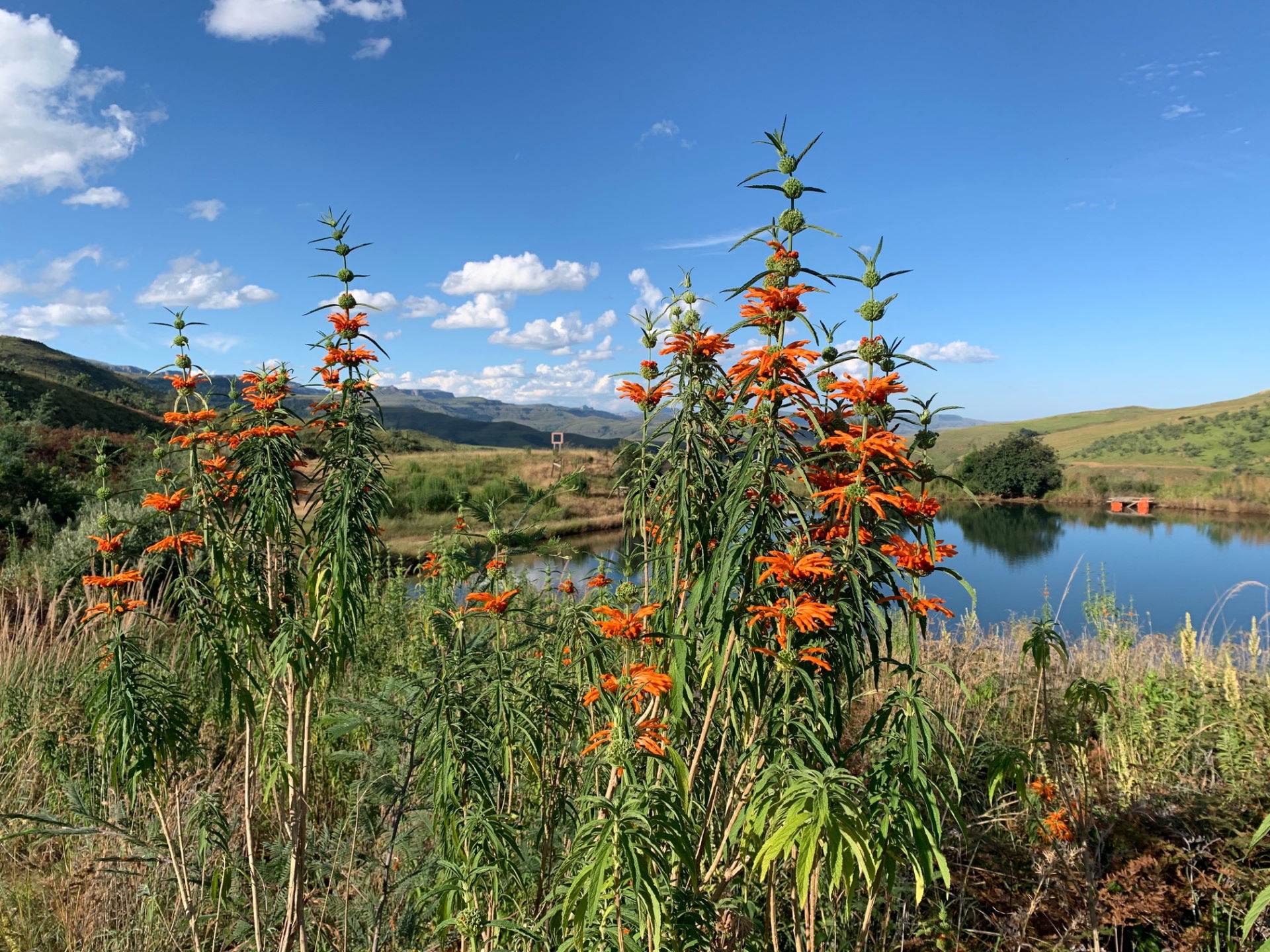
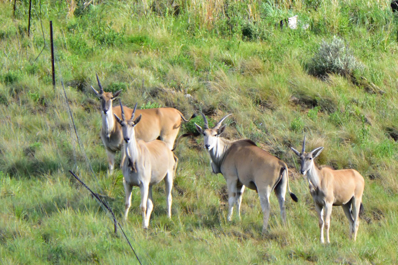
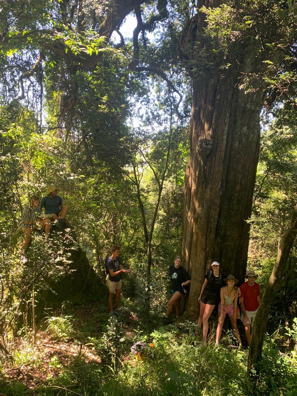
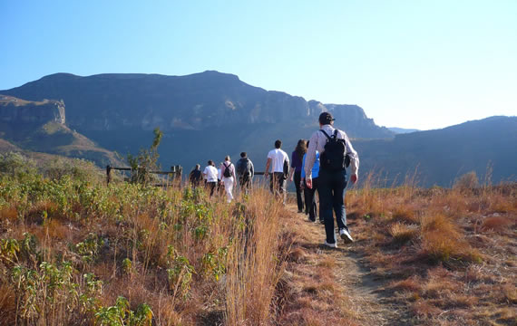
We are blessed with some of the most magnificent trekking and hiking trails in the region. We’ve got easy ones for young families as well as informative nature walks through dense fern forests, including one to a cave which echoes and another to a cave where cannibals once lived.
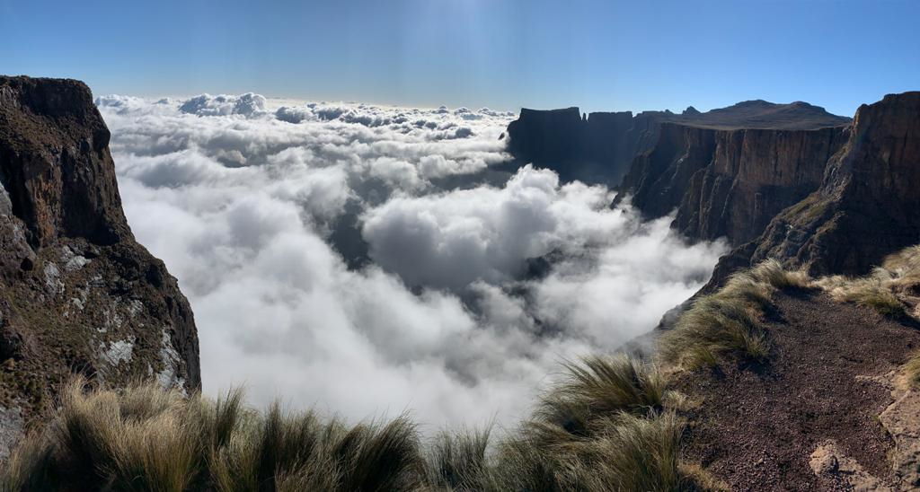
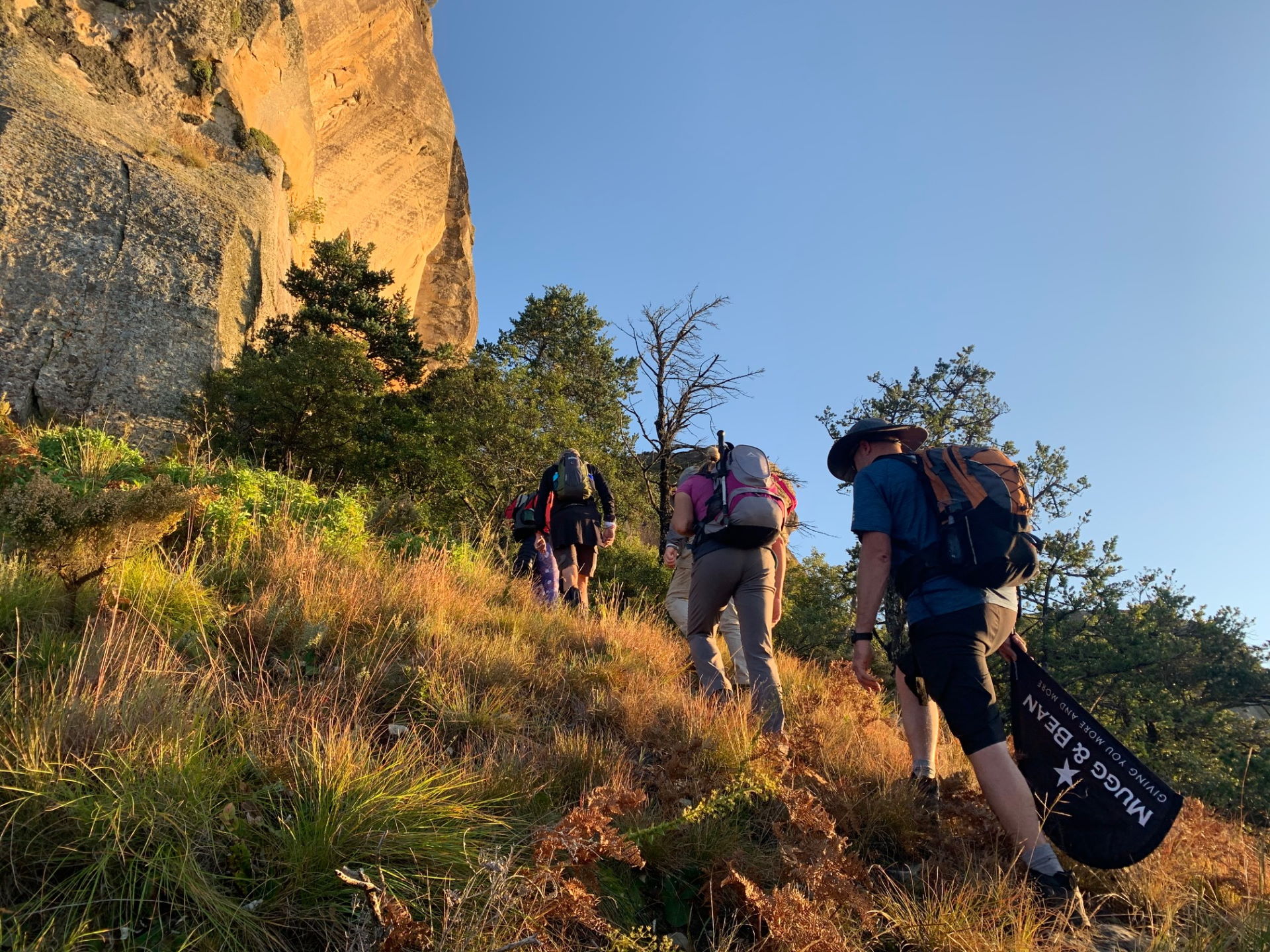
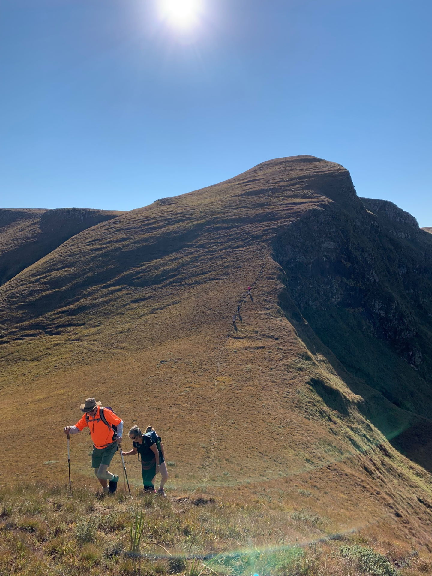
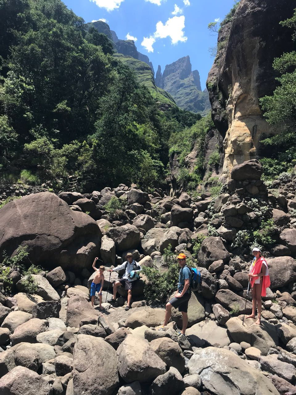
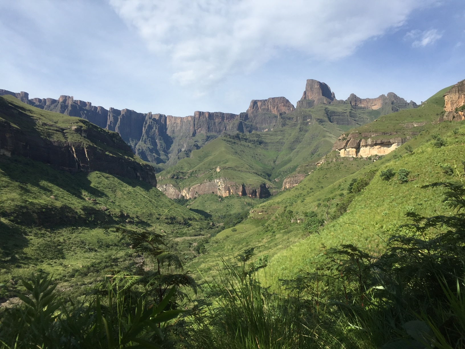
A highlight of a South African visit is to spend a day walking along the Tugela River to the Tugela Gorge. For the adventurous, there is a spectacular hike to the impressive 3100m summit of the Drakensberg Amphitheatre where the views are unforgettable. We provide experienced guides and packed lunches for both outings.
OsmAnd – Offline Travel Maps
The Open Street Map project have mapped most of our popular hiking trails, and you can use OsmAnd app for navigation to some of the most popular hiking destinations at The Cavern. After installing the app, you just need to download the OSM South Africa map.
Grades of Trekking
S Grade – Short(ish) Stroll S
Strolls suit anybody who can walk. They last one to two hours at very gentle pace. Footwear is whatever is comfortable, but we always recommend walking boots with good ankle support, moulded soles and waterproof, breathable uppers.
E Grade – Terrain Easy
These walks suit people who wish to enjoy the hills and mountains without much strenuous activity and at a slower pace. Expect three hours’ walking with a maximum of approximately five hours. We recommend walking boots with good ankle support, moulded soles and waterproof, breathable uppers.
D Grade – Terrain Moderate
These are reasonably energetic walks on hills rather than mountains, but nothing too strenuous, although some paths may be rough. Your average daily walking will be less than five hours. We recommend walking boots with good ankle support, moulded soles and waterproof, breathable uppers.
D+ Grade – Terrain Moderate
Expect energetic hikes among hills and relatively easy mountain walking. Daily walking time will rarely exceed six hours. We recommend walking boots with good ankle support, moulded soles and waterproof, breathable uppers.
C Grade – Terrain Moderate to Hard
Hiking time will be about six hours per day. We advise that walking boots with good ankle support, moulded soles and waterproof, breathable uppers are mandatory for safety and insurance reasons.
C+ Grade – Terrain Hard
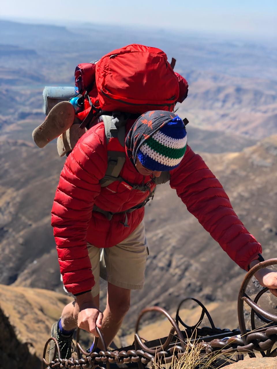
Trekking might be strenuous, offering excitement and challenges, with up to seven hours walking and occasional scrambling. We advise that walking boots with good ankle support, moulded soles and waterproof, breathable uppers are mandatory for safety and insurance reasons. Chain ladders may be encountered on some routes.
B Grade – Terrain Hard to Severe
Hard walking and scrambling, up to an average of eight hours per day. Please note from trekking descriptions the altitudes that are likely to be reached. We advise that previous experience of hard mountain walking is essential. Walking boots with good ankle support, moulded soles and waterproof, breathable uppers are mandatory for safety and insurance reasons. Chain ladders may be encountered, so a good head for heights is also necessary. Some routes pass through snow.
Walks and Hikes starting at The Cavern
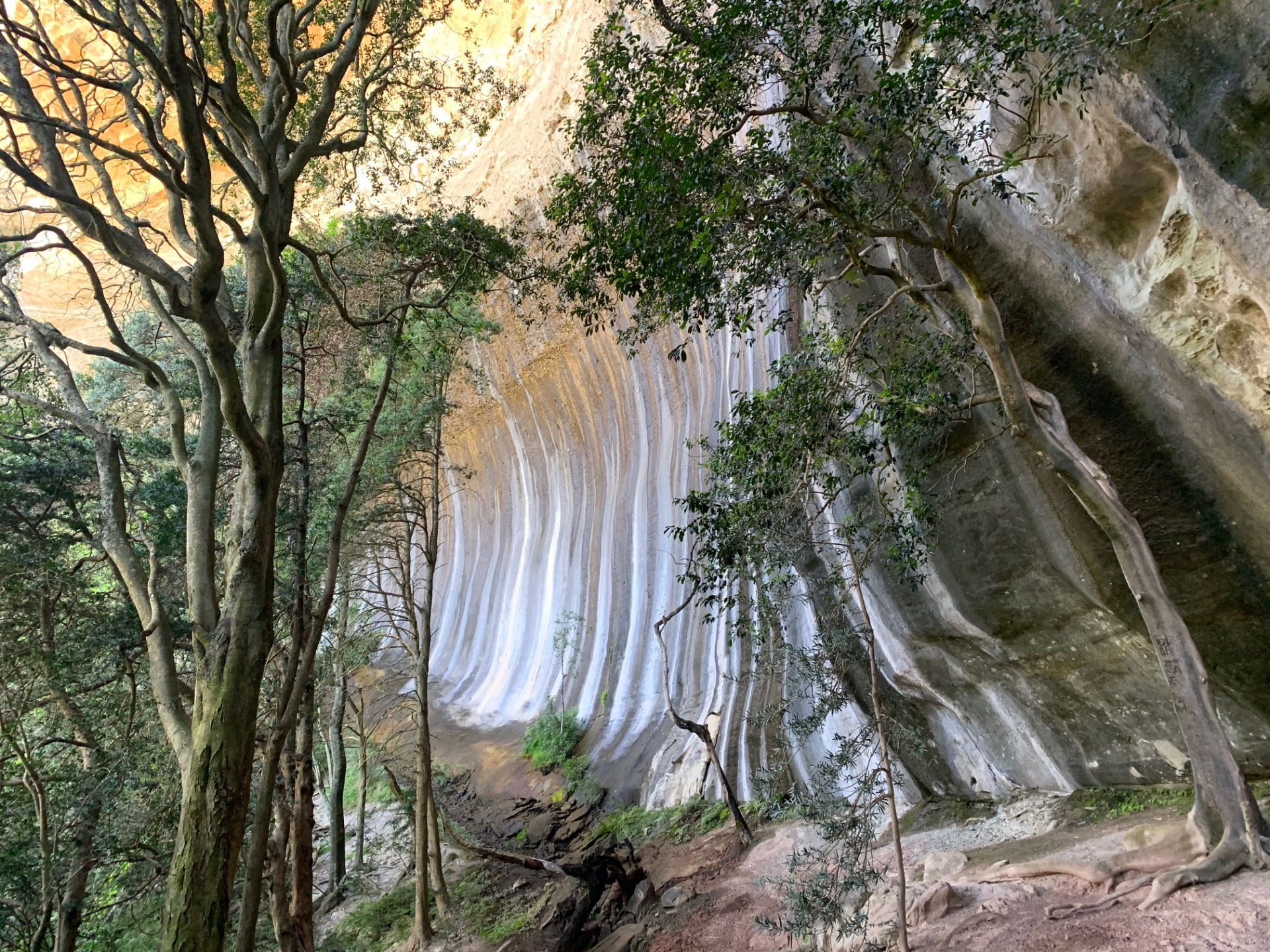
The Waterfall
The Grotto
The Fern Forest
Bushbuck Ridge and Natural Pool
The Bishop’s Inkaba
Cannibal Cavern
Sugar Loaf
Little Hut and Mills Gap
Metsimatsho River
The Diamond
The Silent Woman via Jackal Hill
Camels Hump
Hlolela
Surprise Ridge
Jim’s Cave
Alan’s Table
Lone Rock
Thonsela Cave
Echo Cave
Sungubala Pass
Babangibona
Troglodytes
National Park Grotto
Goodoo Falls
The Cavern Big Five
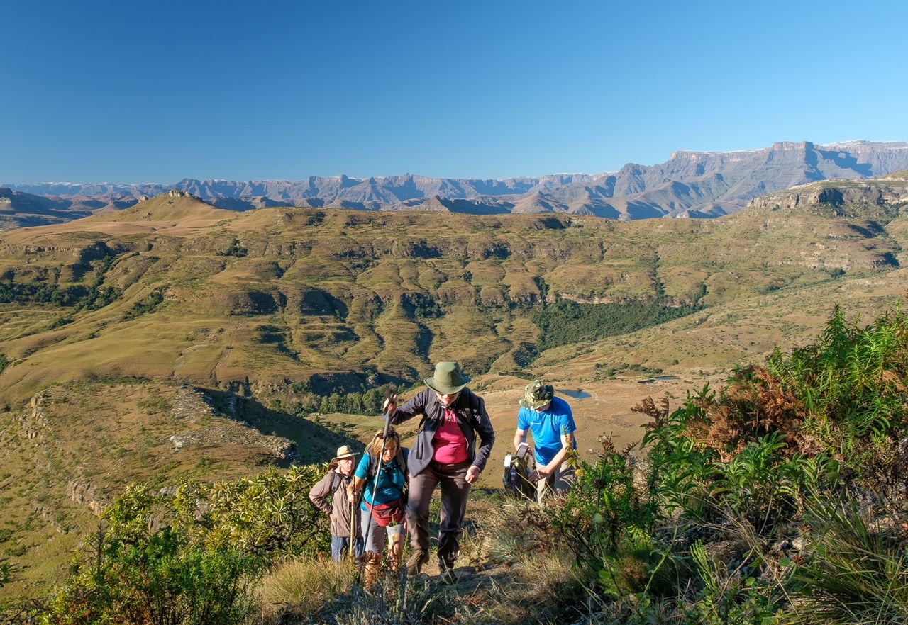
The Amphitheatre Ascent
Hikes Starting at Royal Natal National Park
The Cascades and McKinlay’s Pool
Fairy Glen
Otto’s Walk
Sunday Falls
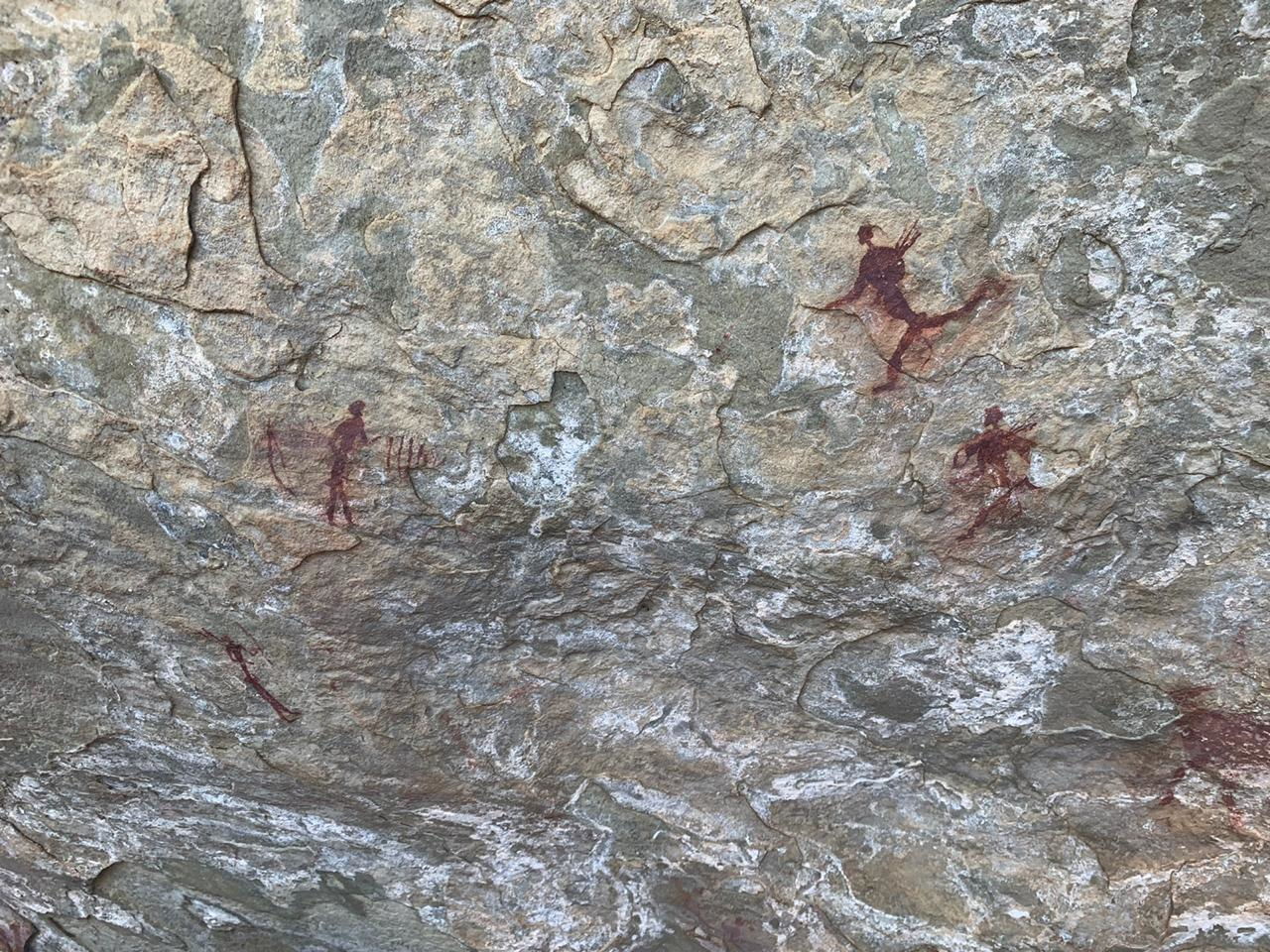
Sigubudu Valley Bushman Paintings
Sigubudu Ridge
Forest Walk
Tiger Falls
Thendele Camp
Dooley Waters and Mahai Valley
Mahai Falls and Basuthu Gate
The Crack and Mudslide
Broome Hill
Castle Rocks
Thukela Gorge
Devil’s Hoek
Vemvaan Valley
The Lion
The Gap
Safety Whilst Trekking
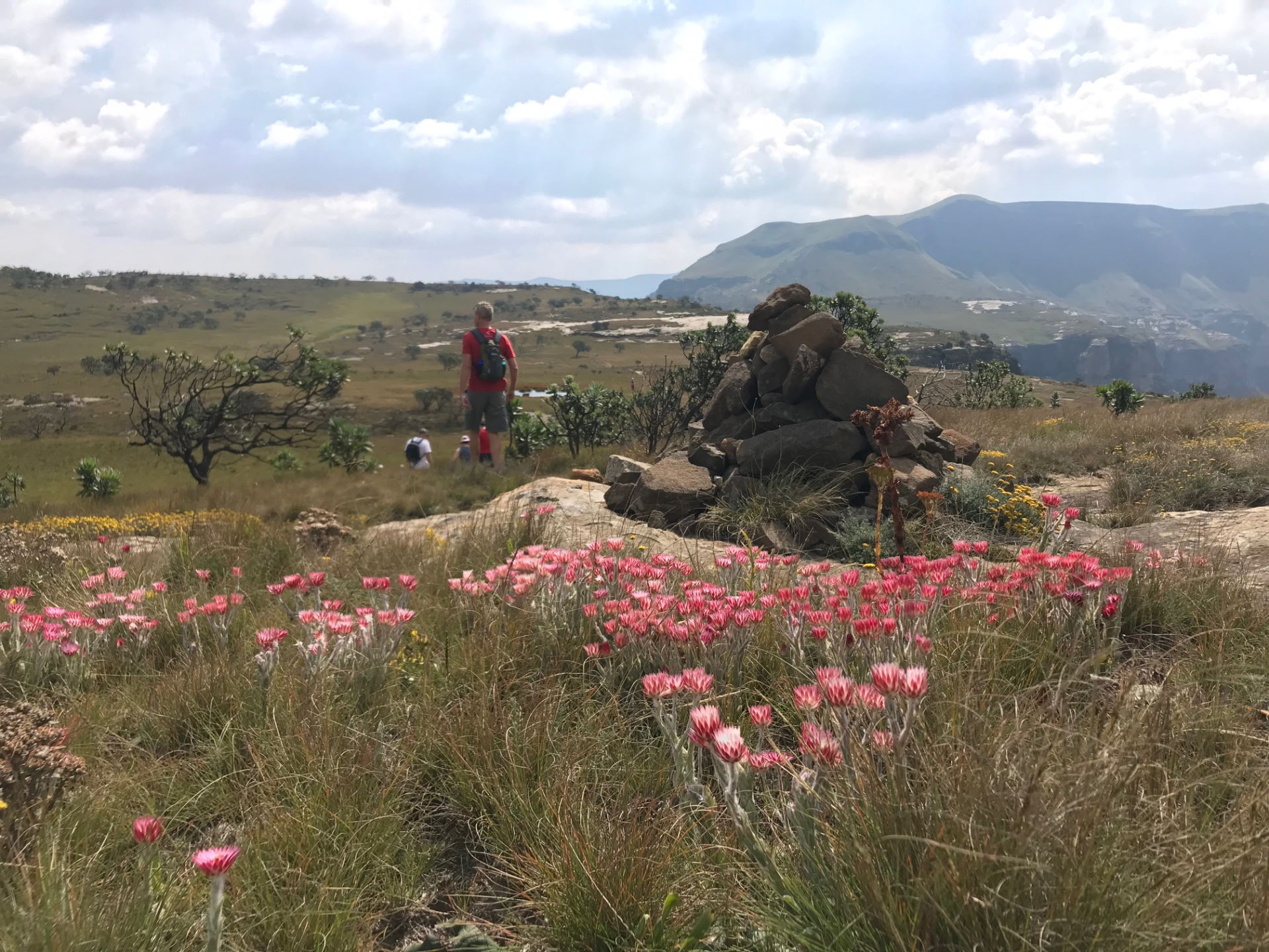
The Royal Natal National Park is recognised as a World Heritage Site of cultural and natural significance. The mountains offer superb hiking and climbing, but also have many dangers. Here are some guidelines for your safe and responsible enjoyment of these magnificent mountains.
Registers
Overnight Hikes in the National Park: always take the time to complete the Mountain Rescue Register correctly and in detail. It is often the only information the rescue team has to refer to if you have an accident or get lost. Mountain Rescue Registers are kept at all entry points to the National Park.
Day Walks: fill in the Day Walk Register where available, even if you plan only a short walk, and especially if you plan to go above the contour path. Failing to complete the register wastes valuable time in initiating a rescue operation.
Remember to:
- Avoid an unnecessary search by recording your return in the register at your point of exit or by phoning the Wildlife Office where you started your hike.
- Tell a close friend or family member when you expect to be back and include their contact details in the Register.
Planning
Plan your route, describe this accurately in the Register and stick to your plan! If you intend to use caves for over-nighting, these must be booked with the office before you depart on your hike. Camping is not allowed in any caves with Rock Art so enquire about this when planning your route.
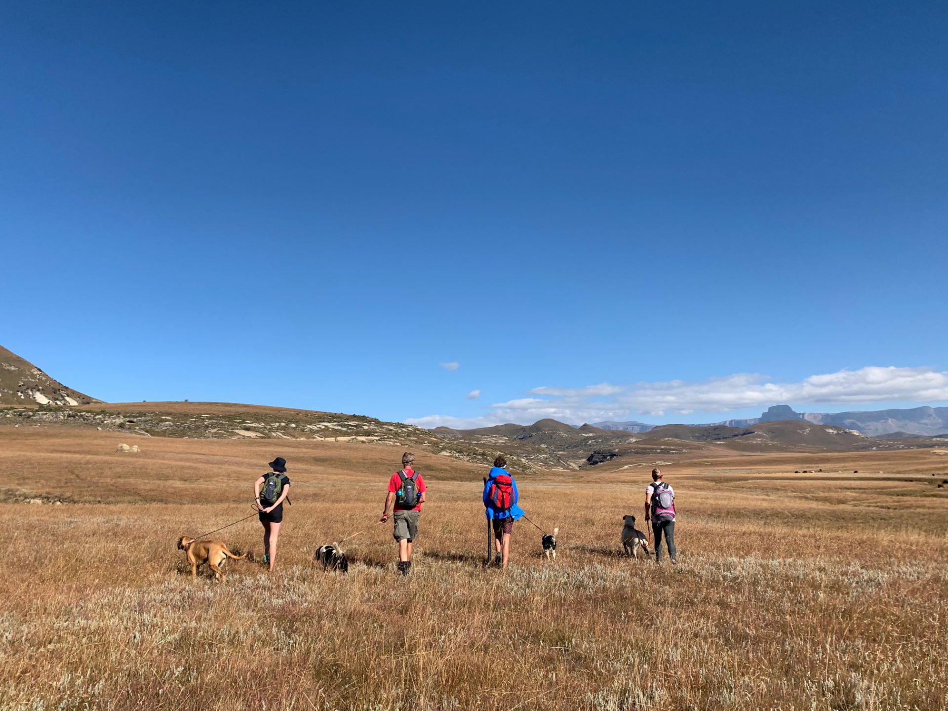
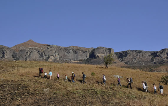
Never hike alone! The recommended minimum group size of 4 persons is especially important if you intend to hike up the escarpment, with a maximum of 12 people per group in the wilderness zone.
Please note there is considerably less daylight in winter than summer. A bright summer morning can end in a severe summer storm with freezing conditions in the afternoon, so good quality equipment is essential. Over the years, snow has been recorded during every month along these mountains so be prepared for sudden weather changes.
For unexpected eventualities, always carry a tent suitable for mountain conditions, even if you have planned to stay in a cave. Always carry extra food when hiking. A day walk may become an overnight hike if an emergency should arise.
When hiking on top of the escarpment, carry at least two days extra supplies. An accurate map is vital and knowing how to use it is essential, as paths in the wilderness are not marked. Detailed maps are available at Wildlife curio shops in the area. Should you decide to use a GPS for navigation, ensure that it is set to the same datum to which your map is aligned and take spare batteries. Remember to plan for the slowest hiker in the group and consider that children may become tired at the furthest point of your walk!
Emergency Situations
Weather
Extreme weather conditions combined with exhaustion can lead to dehydration, hypothermia (from extreme cold) and possibly death. Symptoms of hypothermia include uncontrolled shivering, poor muscle control and a careless manner. Try to reach shelter before it rains as a combination of wet and cold can be fatal. Put on dry clothes, take warm drinks (no alcohol) and obtain warmth by body contact with another person. Windproof clothing, good socks, gloves and a good tent can prevent a problem from arising.
Protect yourself adequately not only from extreme cold, but also from the sun. At these high altitudes, a very painful problem can arise in a short time of exposure. It may become unbearable to carry a backpack when sunburnt. Use sunblock cream often so that you don`t spoil your hike. Drink plenty of water to avoid the dehydration that often arises with the physical exertion required for hiking in the mountains. The mountain streams on the escarpment generally have water safe to drink but water purification tablets may be used if in doubt. Always keep together and travel only as fast as the slowest person in your group.
In snow or lightning storms, move off the escarpment as soon as possible. Do not shelter from lightning directly under trees or large rocks. If you become lost, always stay together as a group and consider your options as a group. In poor visibility stay where you are, rather than try and find your way in the dark, snow or mist. Report your situation by cell-phone earlier rather than later, guidance may be easily at hand and a rescue team may be put on standby before there is a real emergency. Always know where you are on the map! Rescue operations are seriously complicated when hikers have strayed from the recognised paths.
Fire
If you see a fire approaching you, ACT IMMEDIATELY. Either seek out fire refuges – rivers, forests or valley floors – OR light the grass at 90° to the wind direction and then stand in the burnt area. FIRE BURNS VERY FAST UP A SLOPE. If you are on a flat area or at the top of a ridge, run through the fire at 90° to the flames. Cover yourself with a jacket, hold your breath or breathe through your clothing and run.
Flooding and Heavy Rain
Mountain rivers and even flooded streams can be very dangerous to cross as the water is very fast flowing; if in doubt, do not cross. Do not camp next to a river or stream as flash flooding may catch you unaware.
Snakes
There are three types of dangerous snakes in the area, the puff adder, berg adder and rinkhals. The rinkhals is capable of spitting and in cases of poison in the eyes, rinse with water, milk or urine. If you have a snake bite victim, keep them calm and reduce movement to a minimum; exercise quickens the spread of the venom. Seek medical assistance as soon as possible. Do NOT apply a tourniquet. Wrap the limb firmly, starting at the top in order to slow (but not stop!) the blood circulation.
Right to Risk
The “Right to Risk” is yours to go where you like, but remember that a rescue team may have to risk their lives to save yours, so while we encourage you to enjoy this World Heritage Site, please act responsibly!
Report all security-related incidents, no matter how small, to the Conservation Manager as they are all important to us. After your hike report to the Conservation Manager, or record on the reverse of the Mountain Rescue Register form, any observations or incidents which made your experience a rewarding one! Any problems should also be reported, so that the management team can address these as soon as they have been brought to our attention.
Hiking Check List : Essential Equipment
- Mountain tent, sleeping bag and hiking mattress, backpack, good comfortable hiking boots, rain- and wind-proof jacket & longs, spare warm clothing, water bottle and collapsible 5-litre water container
- First aid kit including plasters, headache tablets and two crepe bandages, emergency safety blanket (foil), large plastic bags to line and waterproof your rucksack, litter bag, sufficient food plus extra food
- Accurate map, torch with spare batteries, pencil and paper, whistle and string, penknife, sun hat and sunscreen lotion, portable stove and fuel, dry matches or lighter, trowel and toilet paper
- Medical aid card, medic alert bracelet, personal medication, passport, cell-phone with spare battery or battery booster in sealed plastic bag, telephone numbers for the park office in the area where you are hiking
- Telephone numbers for your accommodation before and after your hike
Upon Your Arrival
- Obtain weather forecast, pay entrance fee and keep receipt safe, fill in the Mountain Rescue Register or Day Walk Register, check security situation, check equipment
When Leaving
- Sign out in the Mountain Rescue Register or Day Walk Register, inform the officials at your place of entry (you may have exited at a different point), deposit litter in a bin at your point of exit
Good Morning!
My husband and I are coming up from the Cape with our Collie and are hoping to do some trail running. We are quite experienced mountain runners but are looking for some 15km+ distances in the mountains with our pup in the area. Would you recommend leaving from the Cavern on something like this? We are staying at the Phatt Chef just down the road. Looking forward to exploring the area a bit more.
Many thanks, Cynthia.
Unfortunately we have 5 hounds at The Cavern and they are not well socialised with other dogs so we are regrettably a “no pet” establishment. You would be welcome to explore trails in the area and it may be worthwhile chatting to All Out Adventures? They administer the MTB and running trails through the valley. Their email is: info@alloutadventures.co.za
Best wishes, Megan
nice
articles on hiking and trekking.
keep doing a good work.
Thanks Nabin.